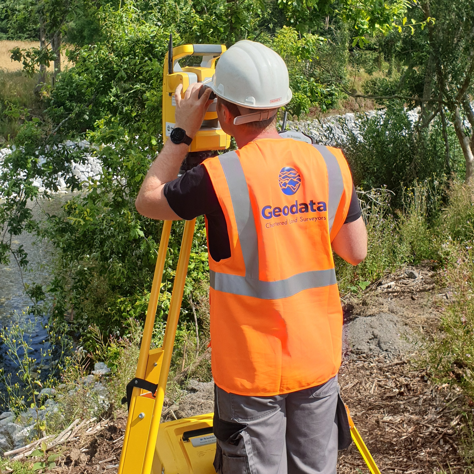
At Geodata, our Chartered Land Surveyors are highly experienced in boundary surveying and land dispute resolution.
We provide clear, accurate, and legally defensible mapping to support property owners, solicitors, and local authorities in resolving boundary and title matters with confidence.

Our skilled team combines extensive knowledge of land measurement, mapping, and record evaluation to deliver comprehensive and factual reports on disputed or uncertain boundaries.
We assess existing deeds, maps, and historical survey data to present a clear, evidence-based representation of the land in question.
Recognised Experts
We are recognised experts in producing Tailte Éireann compliant mapping (formerly the Land Registry) for property registration and legal submissions.

Using high precision GNSS and UAV technologies, we capture detailed and reliable survey data that enables us to produce precise boundary maps even in challenging or restricted access locations.
Accurate and properly registered boundary mapping is essential to safeguard land ownership and avoid future disputes.
At Geodata, we combine advanced technology with professional expertise to deliver clear and dependable results every time.
Deliverables
–Tailte Éireann Compliant Mapping
–Boundary Assessment Report
–Aerial Imagery & Orthophotos
.
