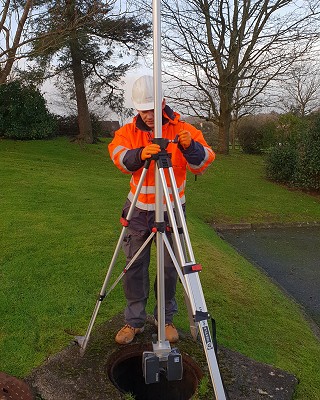
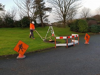
At GeoData, capturing the existing geometry of a confined space is now possible using a 3D Laser scanner with an inverted tripod and remote control.
This approach provides a safe system of work to capture the geometry and condition of a manhole or chamber without the requirement to enter the space.
We can delivery the survey in a geo-referenced point cloud or a full 3D model of the chamber or tank.