Client: TJ O’Connors & Associates
10km Topographical & Bathymetric Survey - Riverstick & Environs Flood Relief Scheme
Location: Riverstick, Co. Cork
Project Overview
GeoData was appointed by Cork County Council to undertake a 10 km Topographical and Bathymetric Survey of the Riverstick and its tributaries, extending from Belgooly to Riverstick, Co. Cork.
The purpose of the survey was to provide high-accuracy terrain and channel data to support the Riverstick & Environs Flood Relief Scheme, a project aimed at reducing fluvial flood risk and improving flood resilience across the catchment.

Survey Scope
Topographical survey of riverbanks, floodplains, and surrounding land along a 10 km stretch
Bathymetric survey of river channels and cross-sections at 30m intervals
Detailed elevation survey of bridges, culverts, headwalls, and associated hydraulic structures
Survey of tank and pumping stations within the study area
Establishment of a robust control network to ensure positional accuracy throughout the project
Methodology
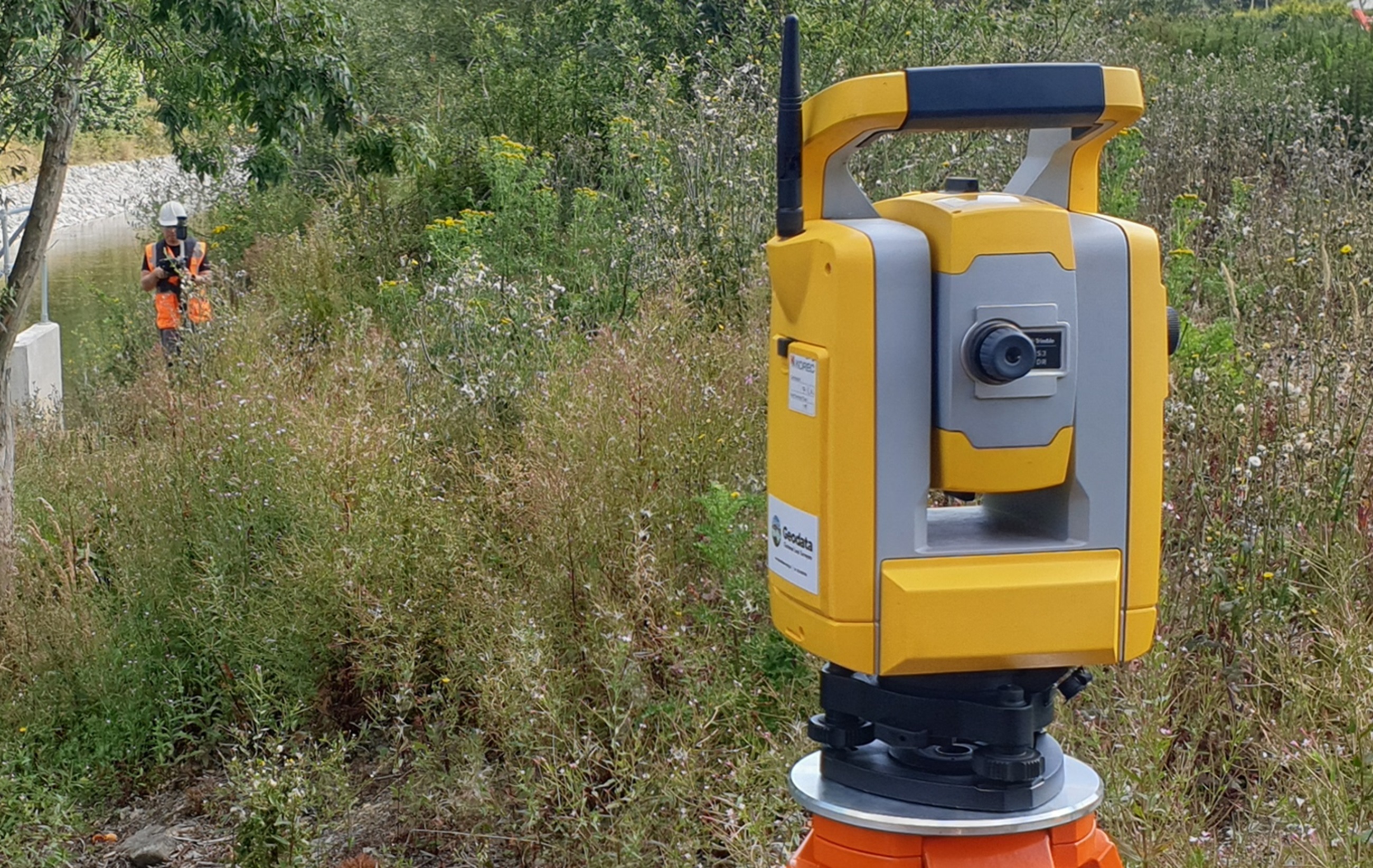
The survey was conducted using high-precision GNSS, total stations, and bathymetric sonar equipment, ensuring consistent and accurate integration between land and underwater data.
Data capture included:
— Cross-sections of the Riverstick and its tributaries at 30m intervals
— Spot levels along floodplains, embankments, and access areas
— Structural details of bridges, culverts, and control features relevant to hydraulic modelling
Upon completion of fieldwork, all data was processed, verified, and adjusted to achieve compliance with the client’s specification
A detailed Control Report was prepared, outlining the survey methodology, quality checks, and confirmation of accuracy achieved.
Deliverables
On completion of the fieldwork and adjustment, a control report was prepared detailing the methods used, checks applied, any problems encountered and demonstrating that the results achieved are in compliance with the Specification along will survey data in dwg and csv formats
