BIM Model & GPR Utility Detection Survey
Client: Private
Location: Cherrywood, Dublin
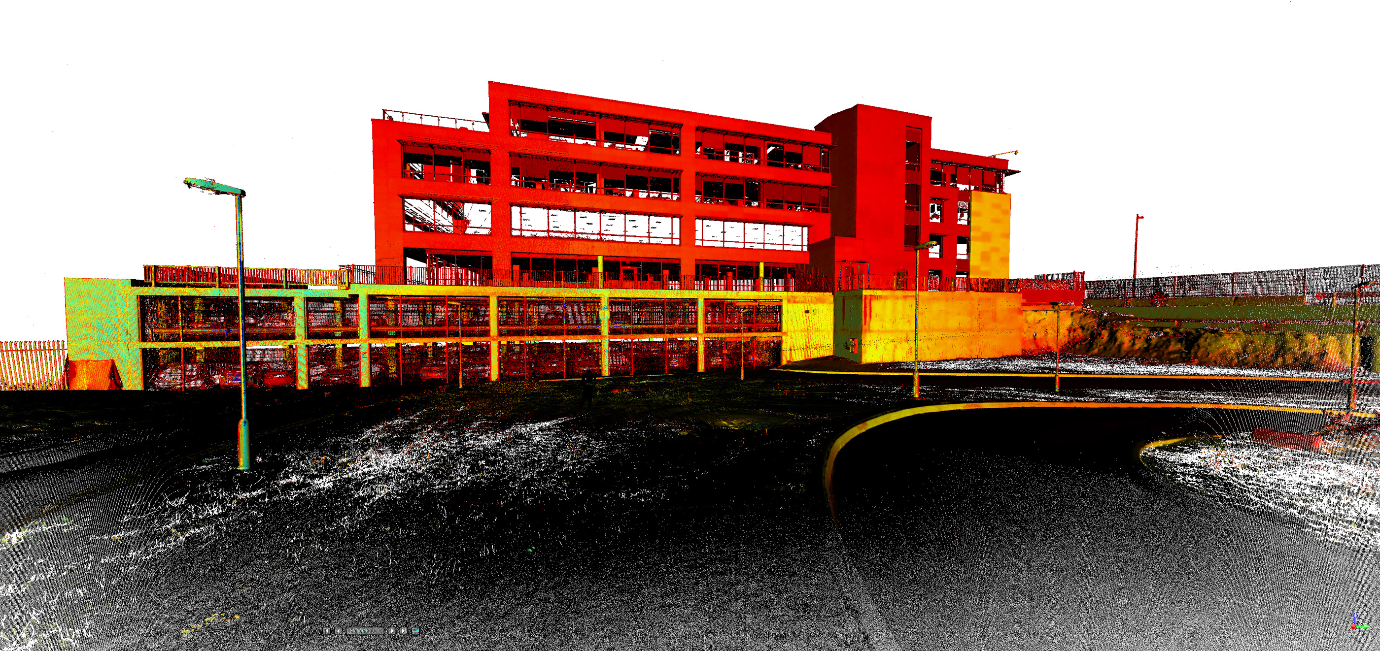
Geodata was commissioned to produce an as-built BIM model of a three-storey basement structure forming part of an incomplete five-storey office development in Cherrywood, Dublin.
Construction on the site had been halted several years earlier at ground level. To facilitate the recommencement of works on the superstructure, the design team required a highly accurate 3D Revit model of all existing structural elements completed to date.
Scope of Works
The survey included the capture and modelling of all structural components, such as:
—Walls, columns, and beams
—Floor slabs and ramps
—Lift cores and stairwells
—Service openings and penetrations
In addition, Geodata completed a full underground utility survey to PAS 128 standard, providing a complete picture of both above and below-ground conditions.

Survey Methodology
High definition laser scanning was carried out both internally and externally using a Trimble TX8 and TX9 laser scanners, ensuring full coverage of all structural elements.
Survey control was established using a Trimble S6 robotic total station, providing a precise reference framework for scan registration and modelling accuracy.

Deliverables
The final deliverables included:
– 3D Revit model of the basement structure
– GPR Utility Detection Report to PAS 128 specification
.
