Drone Inspection, Survey & Mapping Services, we deliver accurate, efficient, and safe aerial data capture using our fleet of rotary and fixed wing drones.
Our UAV technology allows us to reach areas that are difficult or dangerous to access on foot, providing high quality imagery and data for a wide range of applications.

Roof & Building Inspections
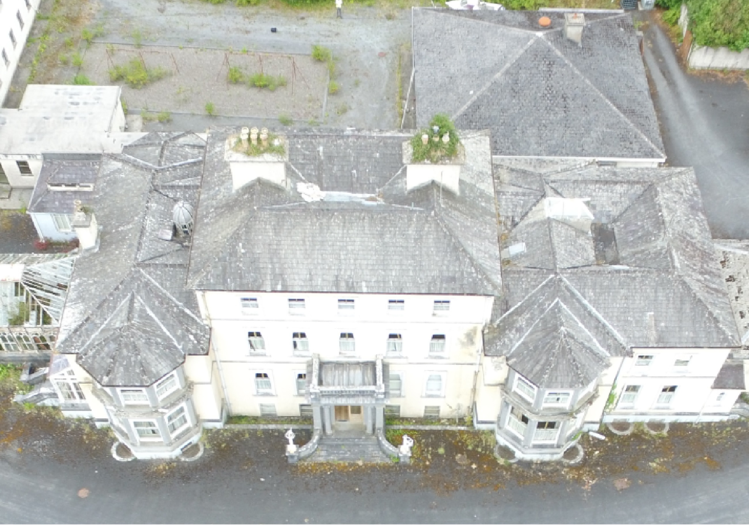
We provide detailed visual inspections of roofs, façades, chimneys, towers, and other hard-to-reach structures. Our high resolution imagery helps identify defects, weathering, or maintenance issues without the need for scaffolding or cherry pickers reducing cost and risk.

Heritage & Conservation Surveys
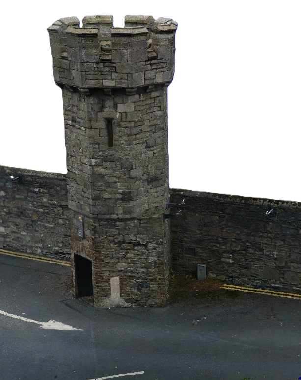
Our drones are ideal for surveying and documenting historic and protected structures. We capture fine architectural details to aid conservation planning and restoration work, such as our recent inspection of the lookout towers in Glasnevin Cemetery.
Topographical & Land Surveys
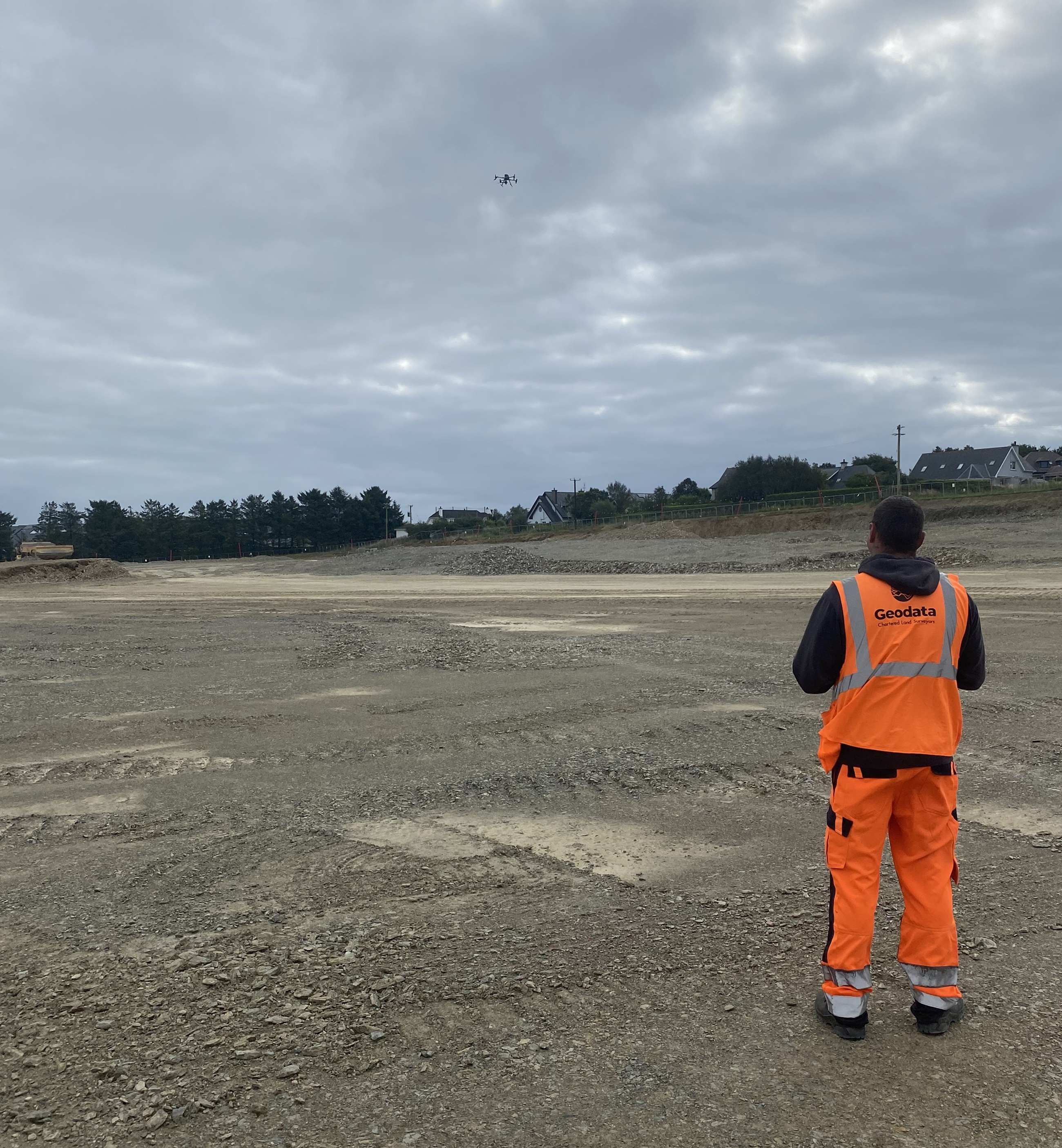
Our DJI Matrice 300 RTK with the Zenmuse P1 camera, one of the most advanced aerial mapping systems available.
This large, stable platform paired with a 45MP full frame sensor delivers survey grade accuracy and exceptional image quality, even over complex or hard-to-reach areas. With RTK positioning, we capture centimetre accurate data for roof inspections, conservation surveys, and topographical mapping.
Using aerial photogrammetry, we can rapidly produce accurate topographic detail and 3D terrain models.

Volume & Stockpile Measurement
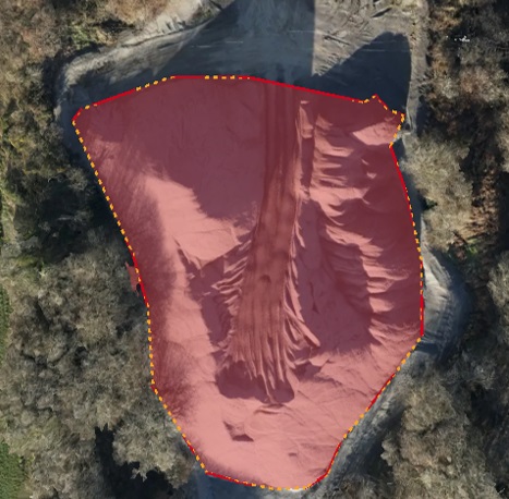
Through drone based photogrammetry, we can calculate cut and fill volumes, stockpile measurements, and material estimates quickly and accurately.

Deliverables
We provide data in a range of high-quality formats, including:
– 3D Web based visualisations
– Rectified Orthomosaic maps
– Digital surface & terrain models (DSM/DTM)
– Point clouds
.

