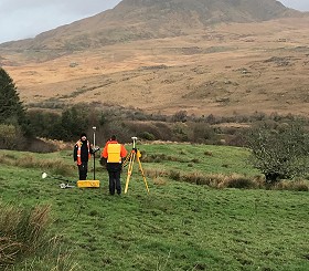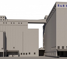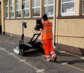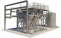
Our comprehensive range of services includes Topographical Surveys, GPR & Utility Mapping, Movement Monitoring, and 3D Building Information Modelling (BIM), catering to diverse sectors.
This commitment to advanced technology not only enhances our survey accuracy but also improves efficiency in data collection and processing, enabling us to deliver innovative, reliable solutions for our clients
About Us
Geodata is a company of Chartered Land Surveyors based in Cork. We have built a reputation of delivering high quality professional service since 2006. We comply fully at all times to RICS regulations, underpinned by strong ethical standards.
Our Services