Client: Private
Project: Topographical, Measured Building Survey and GPR Utility Detection Survey
Location: Athlone
Sector: Pharmaceutical
Scope of works
Geodata was commissioned to carry out a Topographical & Measured Building Survey along with GPR Utility Detection Survey of a 1.8-hectare pharmaceutical facility in Athlone.
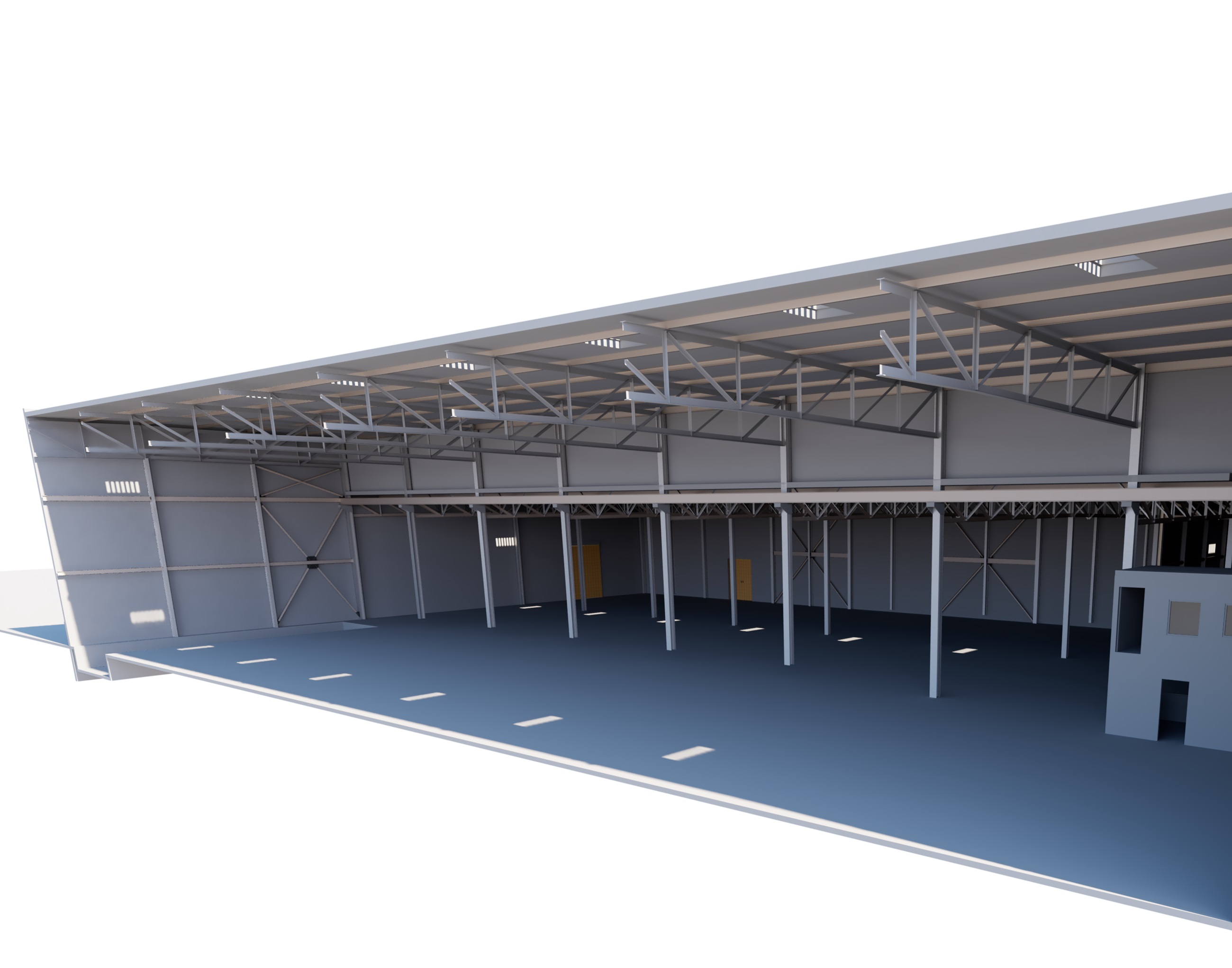
The project included the production of a fully dynamic 3D Revit model of the 55,000 sq. ft. buildings, capturing all structural steel members.

Survey Methodology
The GPR Utility Detection Survey employed a non-invasive approach to detect and map underground utilities across the site using a combination of advanced technologies, from Ground Penetrating Radar (GPR) for subsurface feature detection, Electromagnetic locating devices in both active and passive modes and signal induction and sonde tracking for precise positioning.
An electronic pulse generator (PWG) was connected to hydrants to trace metallic and non-metallic pipes. Notably, the survey did not require any shutdown of pipe sections, minimizing disruption to site operations.
3D Laser Scanning & Modelling
The building survey was carried out using a Trimble TX9 and TX8 laser scanner, with the roof structure captured via rotary drone survey.
The collected data was processed into a detailed 3D Revit model, including all steelwork, enabling accurate visualisation, planning, and design coordination.
[Click here to View internal 3D BIM model]
Deliverables & Benefits
— Comprehensive topographical survey of the 1.8-hectare site
— Accurate underground utility mapping without disruption to operations
— Dynamic 3D Revit model of buildings including steel members and roof geometry
— Improved design coordination and planning for future construction or modification
— Reduced risk of utility clashes and associated delays

